An Easy River Trace for Beginners: The Ayu River in Wulai (烏來阿玉溪)
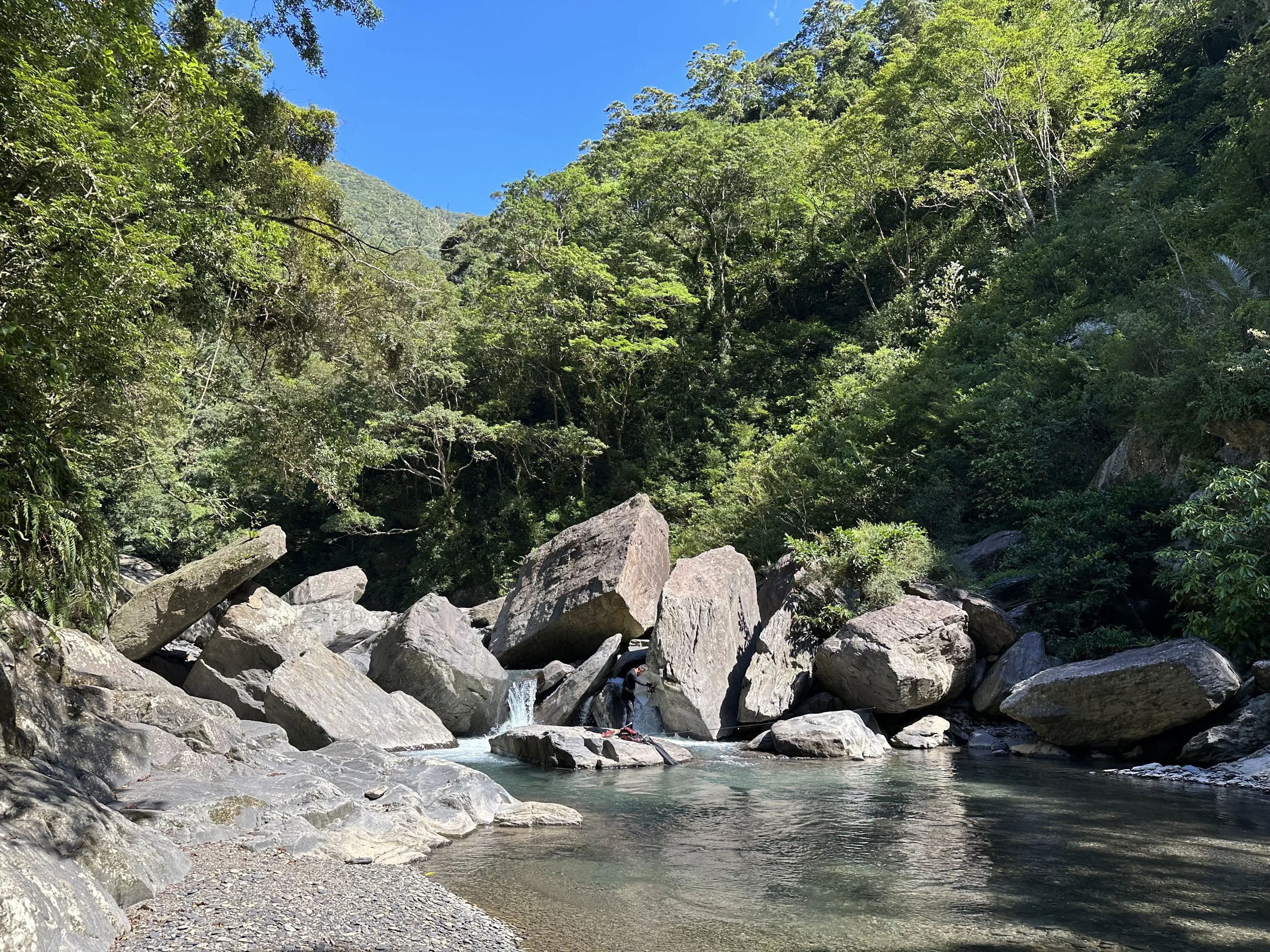
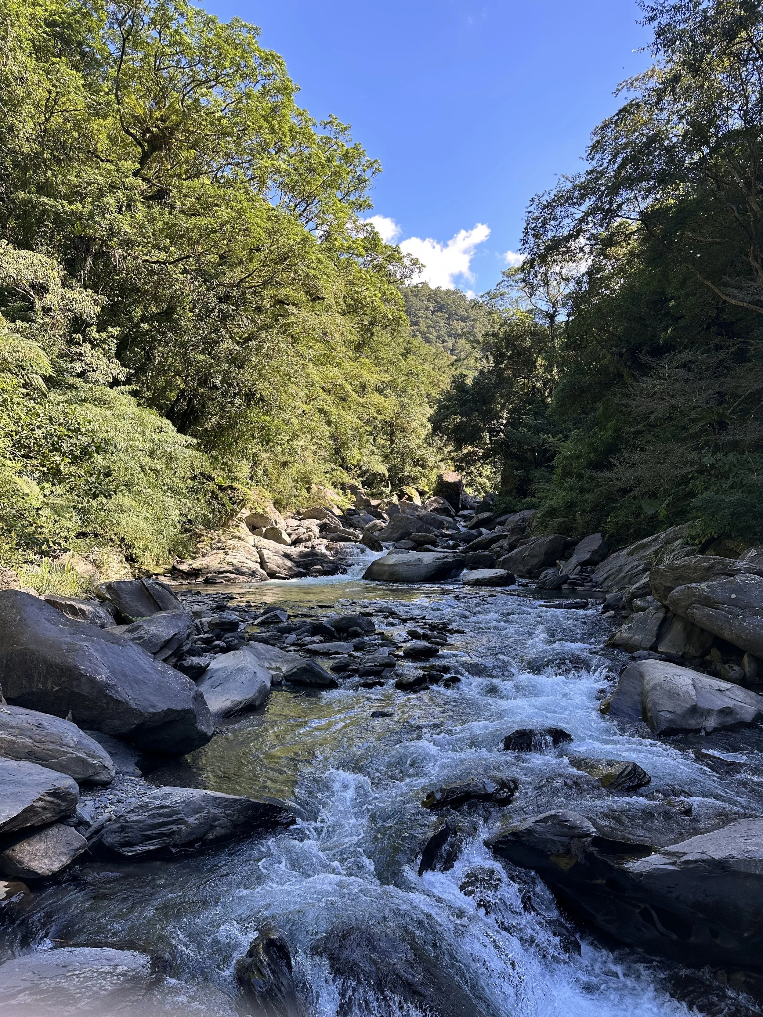
Clear waters and huge boulders at Ayu (when you get to this part climb under the leaning rock on the far left)
I'm back! Over the last couple of years I've been extremely busy with my work, which you can see elsewhere on this website. I still kept traveling and exploring Taiwan during that time though. I'm hoping that for the rest of this year at least I'll be able to post some articles and update all the existing ones.
Sometimes a river trace doesn't need ropes and cliffs to be fun. Sometimes it can just be a relaxing walk in a beautiful river. The skies around Moon Festival are often bright and clear and by this time of year there are fewer afternoon thunderstorms. Despite bad jet lag I didn't want to waste these sunny days so I found a river that looked fairly easygoing.
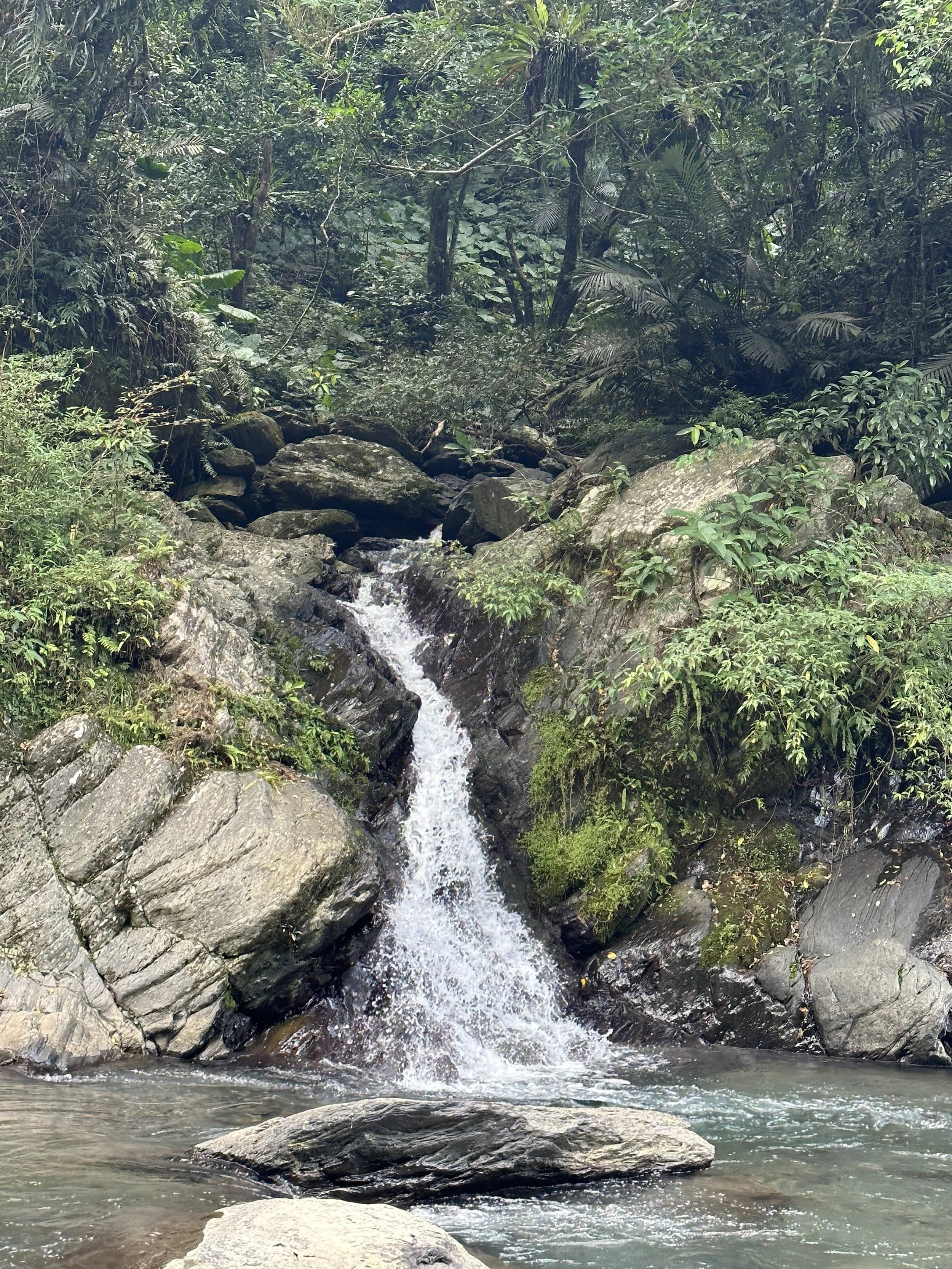
A couple of small side channel waterfalls
The Ayu River is a longish tributary of the Tonghou River, which itself feeds into the Xindian River. It's about a fifteen minute scooter ride past the main Wulai town. There is unfortunately no public transport to this spot. Parking along the forest road is easy and the best place to enter the river is near these co-ordinates (24°50'40.5"N 121°35'00.5"E) .
There is a forest track which follows the west side of the river for much of its length and there are definitely places to enter the river from this. However we didn't use any and weren't especially looking out for them. If you wanted to trace the upper reaches then following this track (it is marked on google maps as the 西坑林道) and descending to the stream upriver would work well. This track also makes for a possible escape route in case the weather turns but I don't know how frequent routes between it and the river are.

To enter the river take the small track near here (there is also a direct path down to the river here too)
Ayu River vs Jiajiuliao
Jiajiuliao (which I wrote about here) is often the default beginner's river trace in the Taipei area. It is the easier trace, it's closer to the city, and it is reachable by public transport. It also has a 'destination' in the form of a small waterfall at the end, and there's a fun swimming pool and natural waterslide along the way. Because of this I'd recommend people new to river tracing to start with that one. There are some more difficult boulder fields to navigate at Ayu, although their difficulty will change year on year given storms, so more upper body strength is needed there. There also isn't a 'destination' at Ayu. There are some beautiful pools and some tiny waterfalls, but there isn't one particular spectacular site.
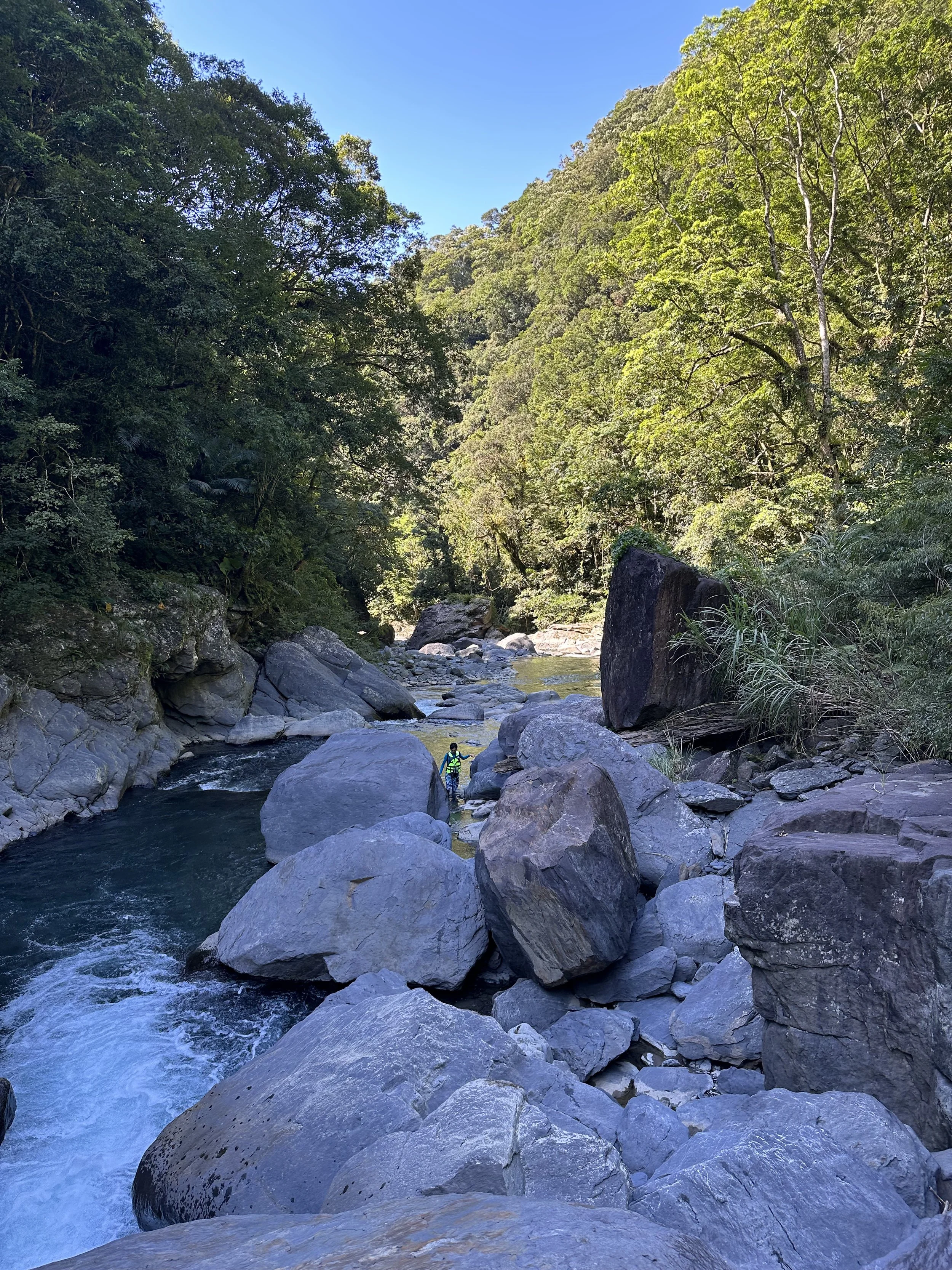
Boulder field at Ayu
The advantages of Ayu are that I think it's a little bit prettier and it's much less visited or traced. Jiajiuliao is often packed, especially at weekends, and you'll find yourself a little crowded out by the large commercial river tracing groups in the main pools.
The trace
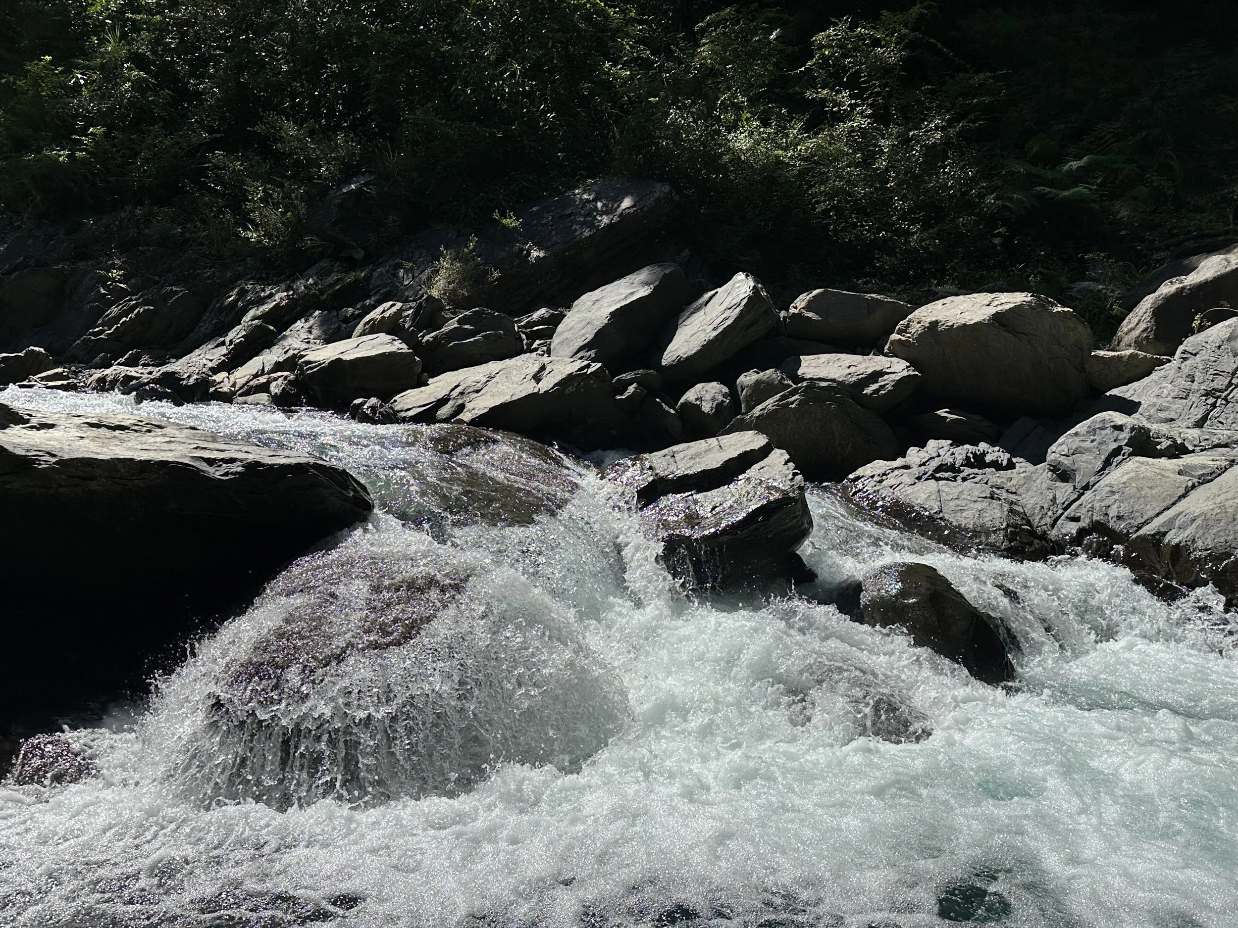
This river changes form quite often. There are periods of quite flat easygoing terrain and then some boulder fields with house-sized rocks sitting right in the middle of the stream. The first section is a relaxed gentle gradient along a mostly straight channel.
The start of the river
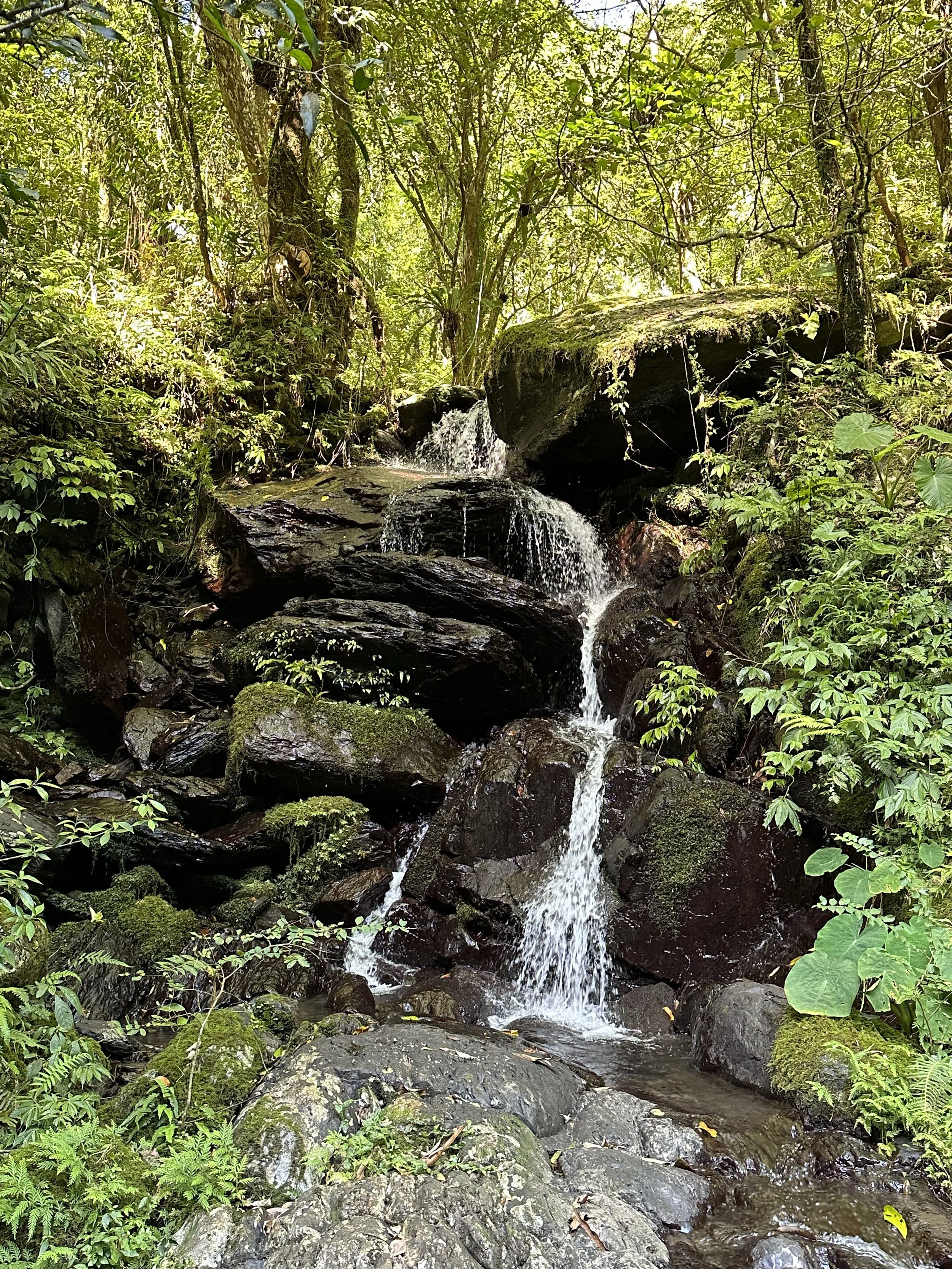
A few quick shots from the trace
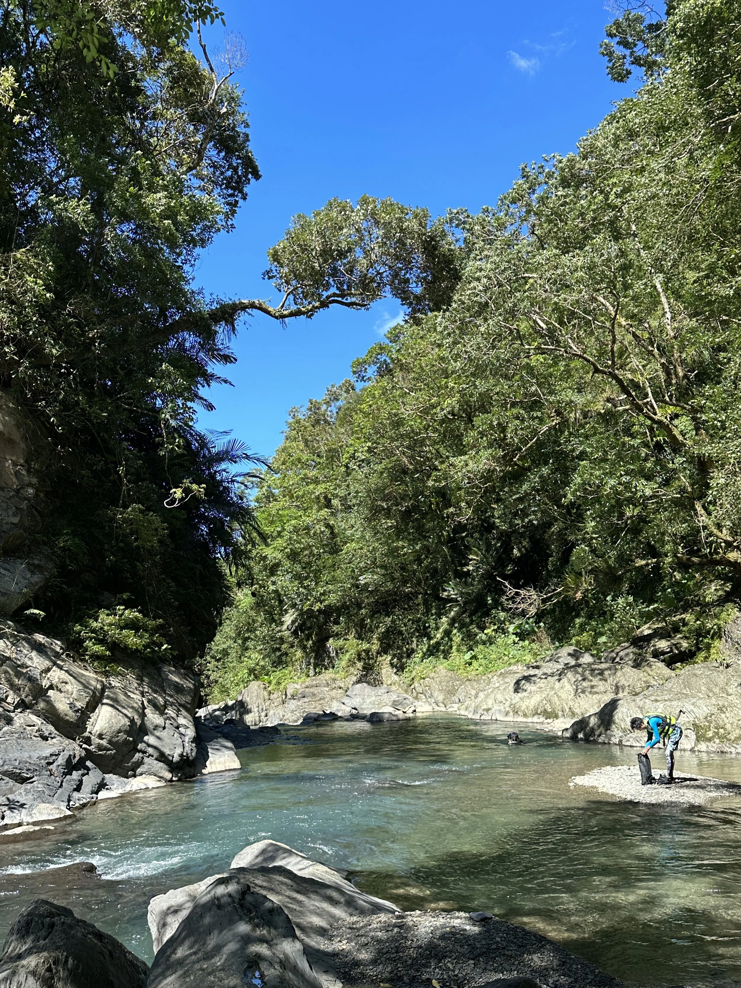
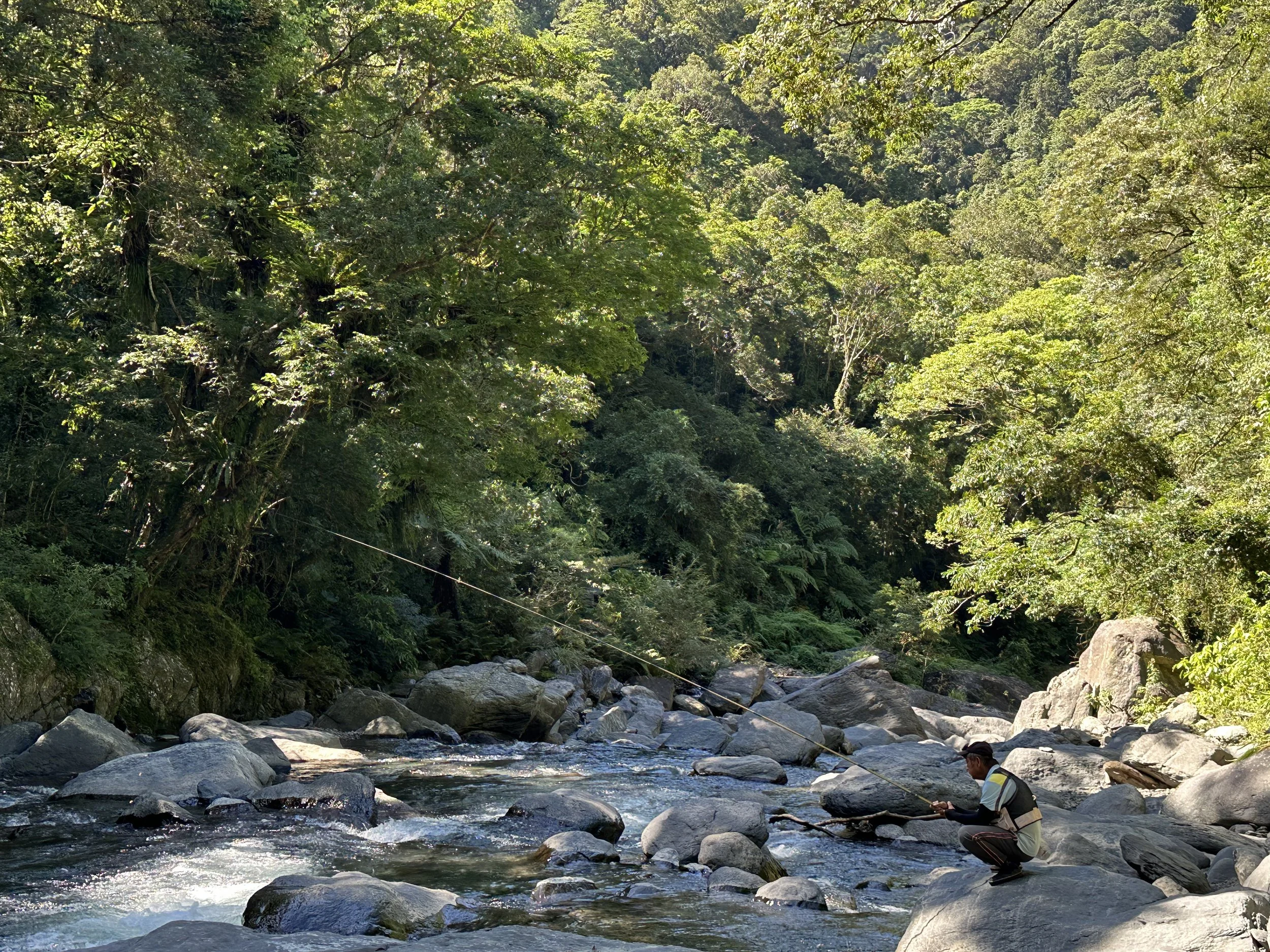
Pretty soon you'll start reaching pools and areas of rapids. The water is crystal clear in this river, some of the clearest I've seen in Taiwan. This makes searching for footing really easy. The river is also popular with fishermen and is home to some largish (for Taiwan rivers) fish.
One large pool has a tiny but pretty fan waterfall. It's easiest just to climb up this on the left side.
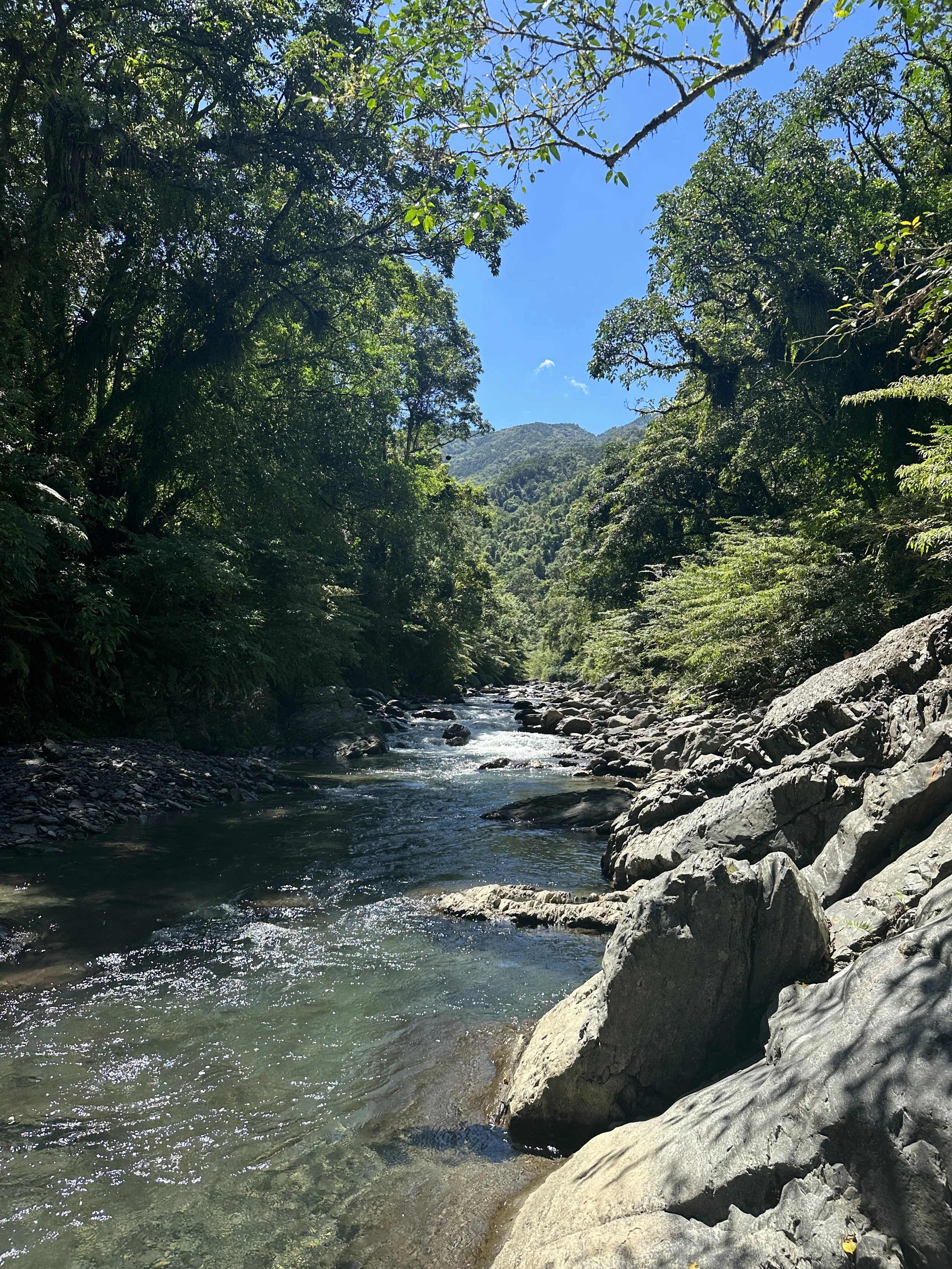
About fifteen minutes past here you'll come to a massive jumble of boulders behind a calm pool (first image) . This was one of my favorite spots on the river. To pass it go through the little portal under two leaning rocks on the left.
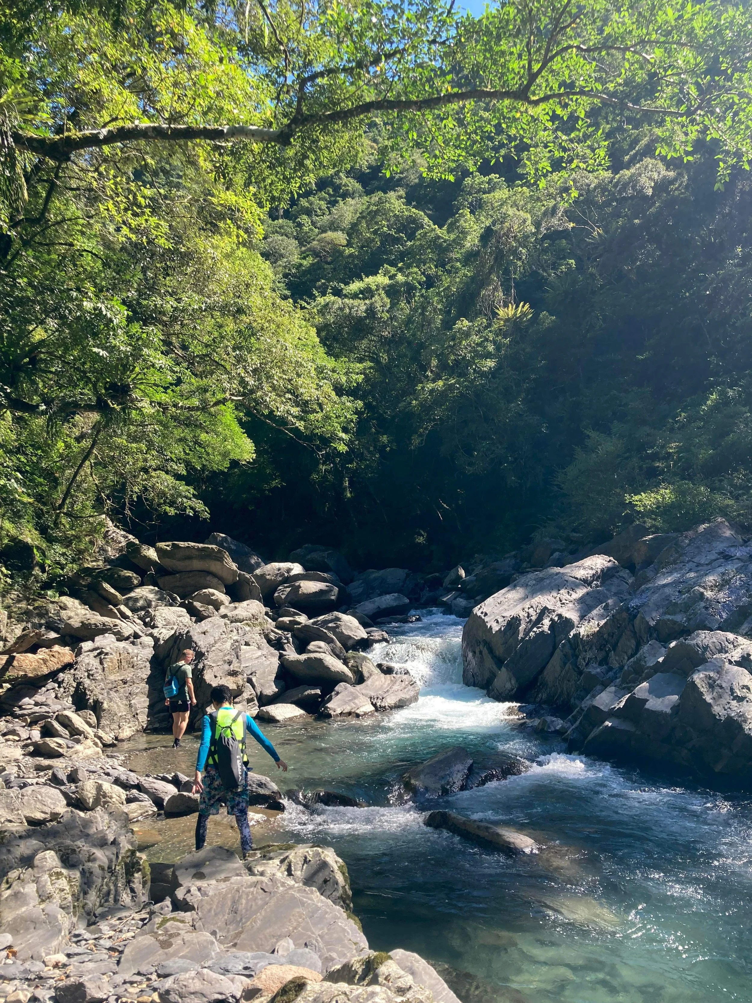
After rounding a sharp bend you'll come to one of the more challenging parts of the river. There isn't always a clear way through this jumble of rocks and you'll need to climb and clamber a lot. It only goes on for about 200 meters.
Beyond this the river opens into a wide flat channel that was very easy to trace. We walked on some ways as the passage was easy but stopped by a narrow side waterfall and decided to turn back. The day was getting on and the sun was starting to drop behind the steep valley sides. In future I'd like to enter the river from the forest road here and continue on up.

Some markers left by a fisherman (also indicating a route up to the forest track

Heading back was easy as some sections are possible to float down. Without the pressure of possible afternoon storms this trace was very relaxing but always keep an eye on the weather!

Some post trace rechao in Wulai Town
For the exact location and details (and also other stuff nearby) take a look at the Hidden Taiwan Map