Cycling from Toucheng to Fulong. Relaxed Round Taiwan Trip Part One
A lot of cyclists complete the “huandao (環島)” during their time in Taiwan. This is a round island bike route known as National Route One that starts and ends at Songshan Station. Most people complete it in about nine days.
I have not done the huandao. I'm not a hardcore cyclist and I don't like to rush things. I have a good deal of respect for people who do it as it takes a good level fitness. I’ve made a much more winding and chilled round island route with plenty of stops and side trails, and it won't necessarily follow National Route One.
This will cover part 1 from Toucheng to Fulong. It would not be too tough to complete Toucheng to Keelung in one day either. Why start from Toucheng? The east coast is the most difficult part of the round island trip. The stretch from Songshan to Hsinchu is also a little more challenging than the northeastern coastal routes. I decided to start with some easy coast rides and gradually build up my fitness, tackling the east coast sections last. Why not start from Su’ao and complete the easy Yilan plain section first? Becuase then you can end the last leg near the Jiaoxi hotspring areas rather than the anticlimactic Su’ao.
Some notes
It's best to complete this ride from south to north as that puts you next to the ocean. Also, most of the bike paths are on the ocean side of the road.
This is being done with my own very ordinary road/mountain bike brought from Taipei on trains. A good guide to taking your bike on trains can be found here. Some friends completed the Toucheng to Fulong stretch by taking the train to Fulong, renting a bike, taking it on the next train to Toucheng, then cycling back to Fulong and returning it. The Fulong to Keelung leg would be harder to do in this manner, but not impossible, and that’s definitely the more dramatic ride.
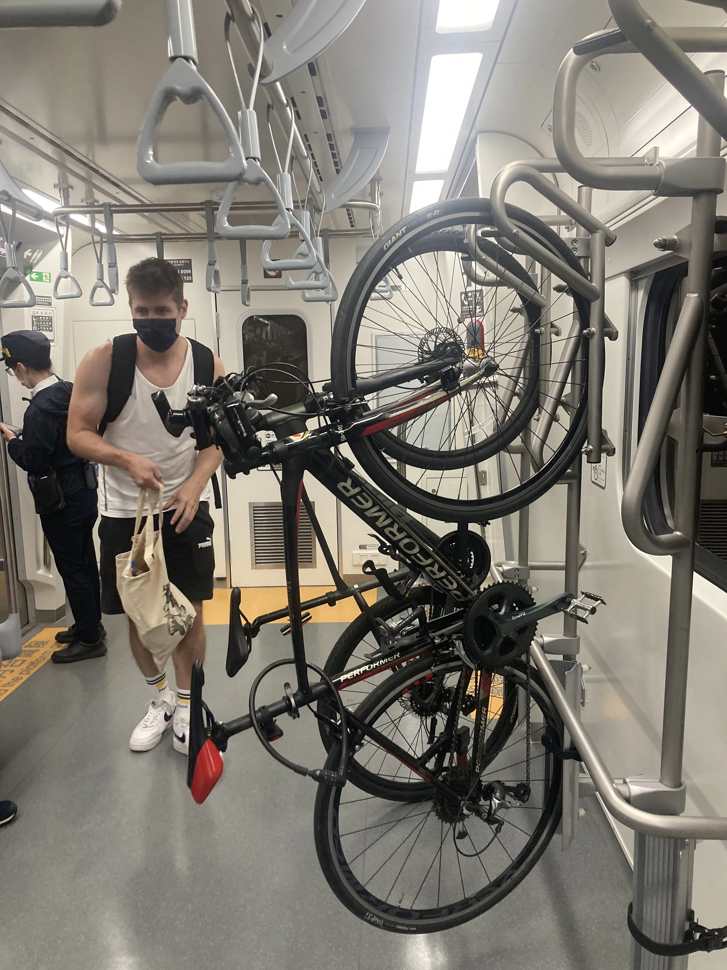
I’m quite used to taking the local trains with a bike like this now
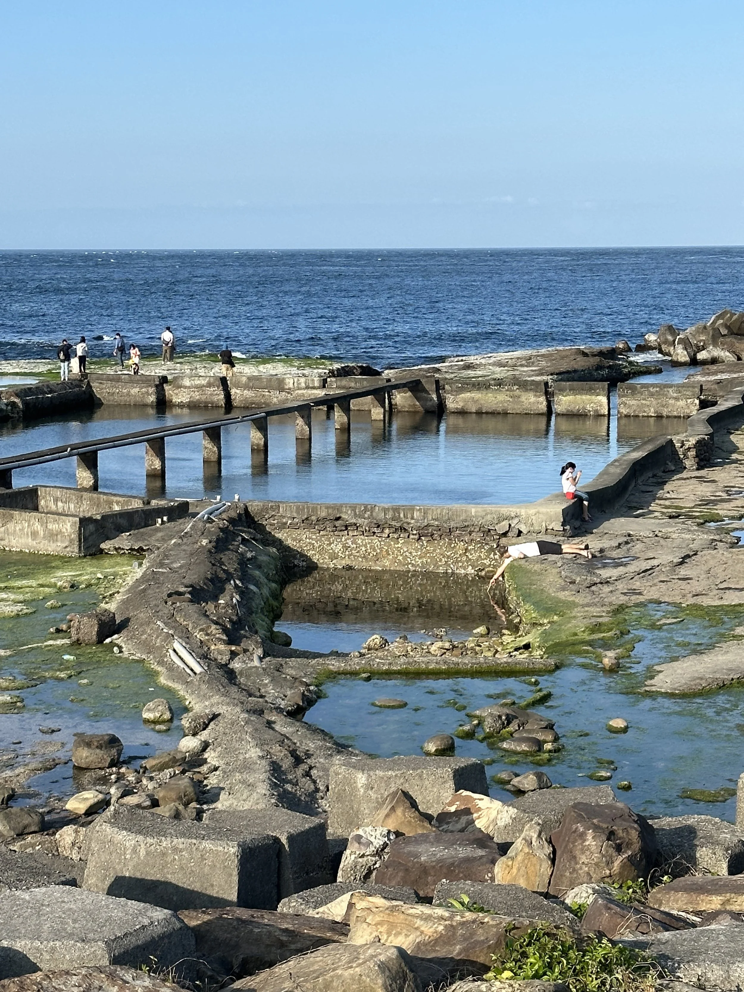
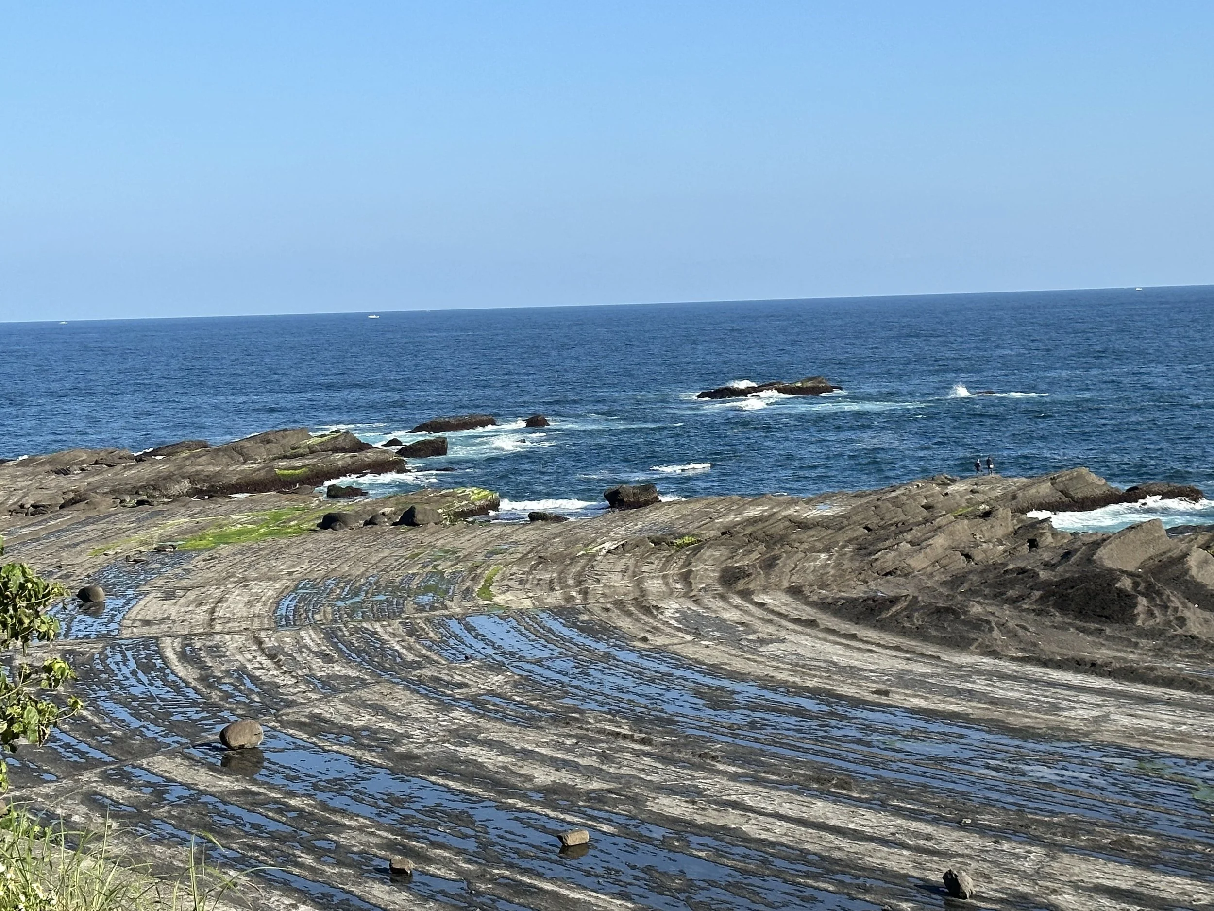
Beiguan tidal park
The ride
Please check the Hidden Taiwan Map for the exact route. It's fairly easy to follow with the exception of the first part in Toucheng. I tried to stay off the highway as much as possible for a more relaxed ride. The highway has a lot of truck traffic but on the parts where I shared a road with them I found they gave a pretty wide berth. They're also less dustier than they were a few years ago. This route is easy to complete within an afternoon including stops.
Leaving Wai’ao
Toucheng to Beiguan
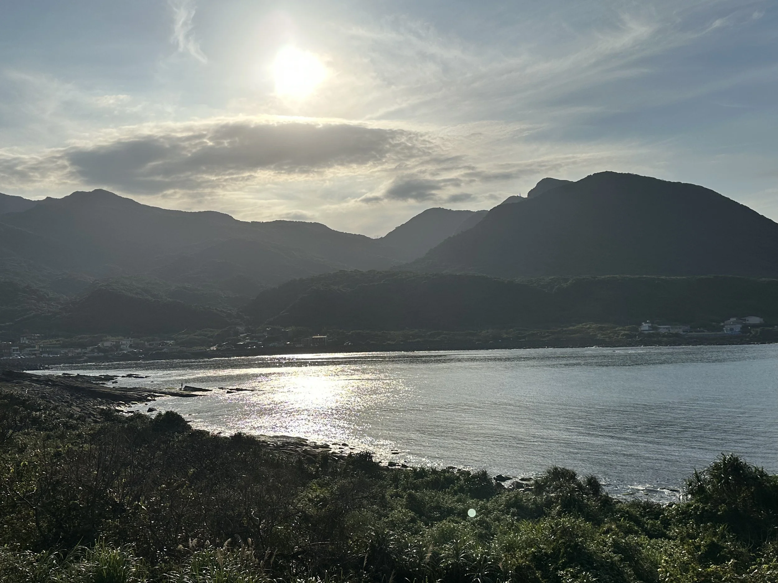
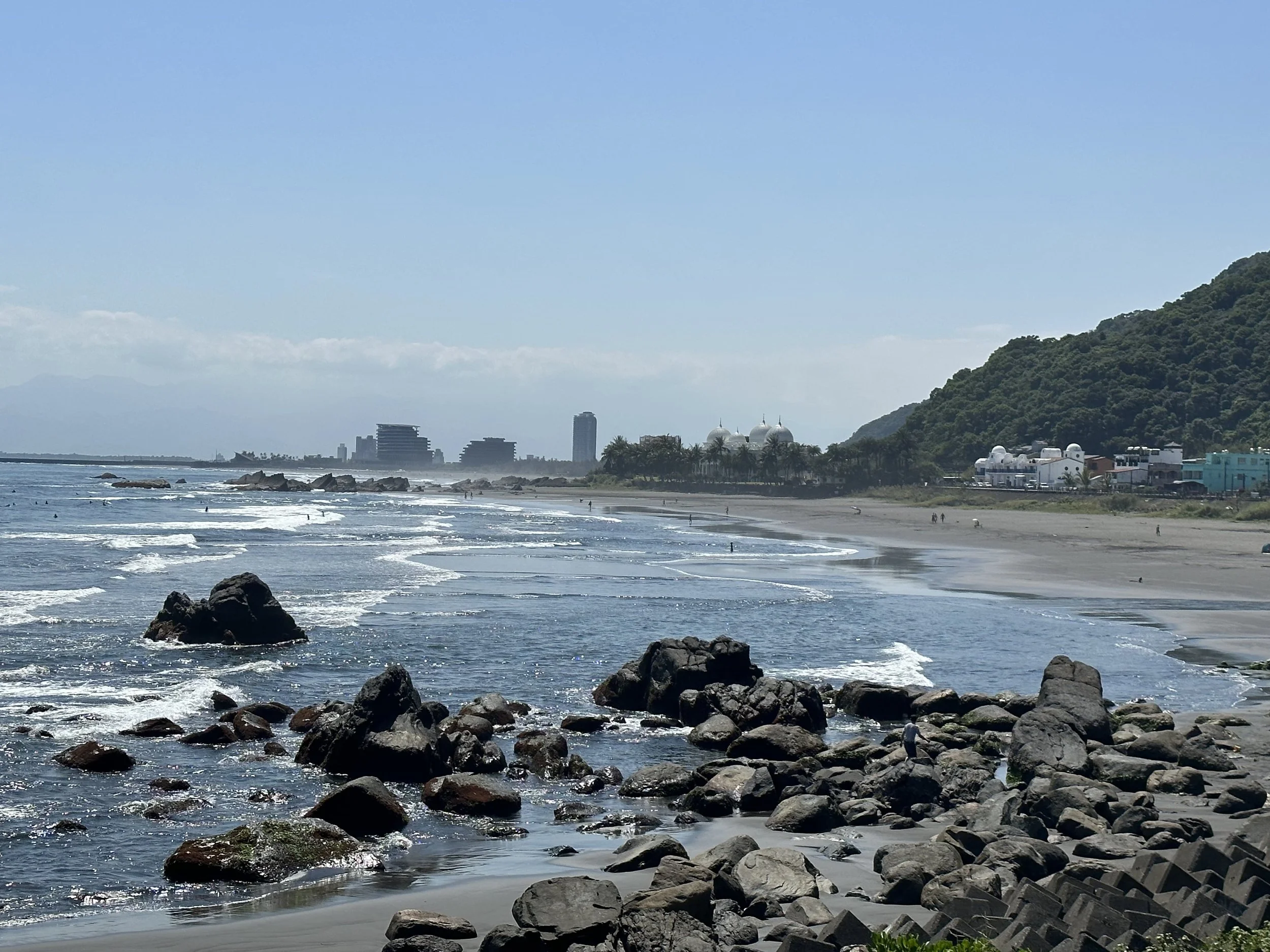
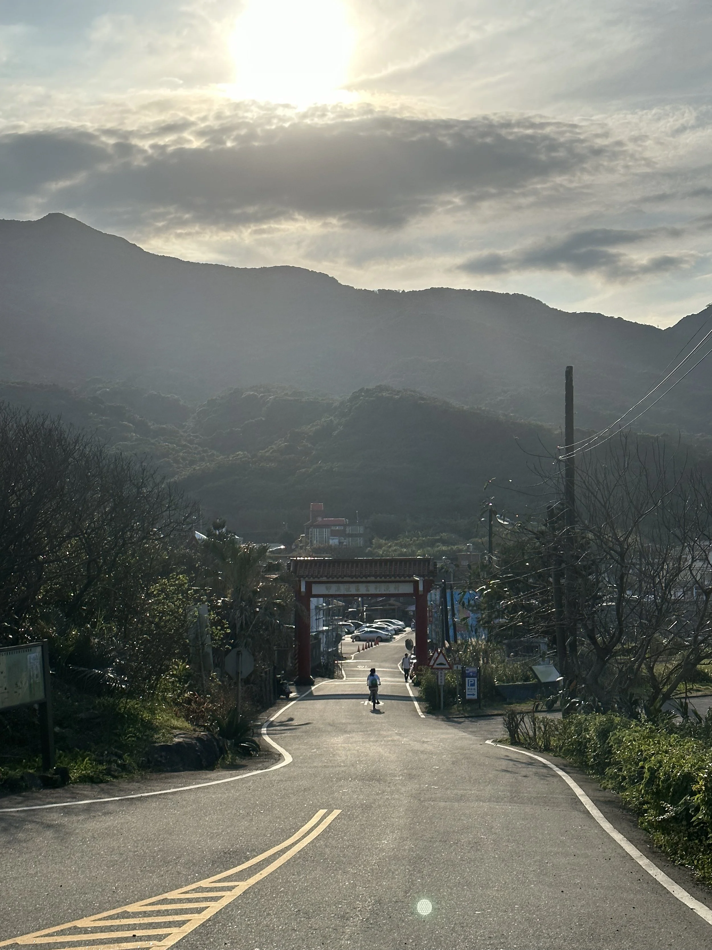
On arrival at Toucheng the best route goes through Toucheng Old Street, which is lined with historic buildings. After following the old street cross the highway and wind through some empty areas, past a couple of posh new hotels, and a long fishing harbor. From here you can cycle along the beach promenade. Toucheng and Wai'ao are known for their long black sand beaches and good surfing.
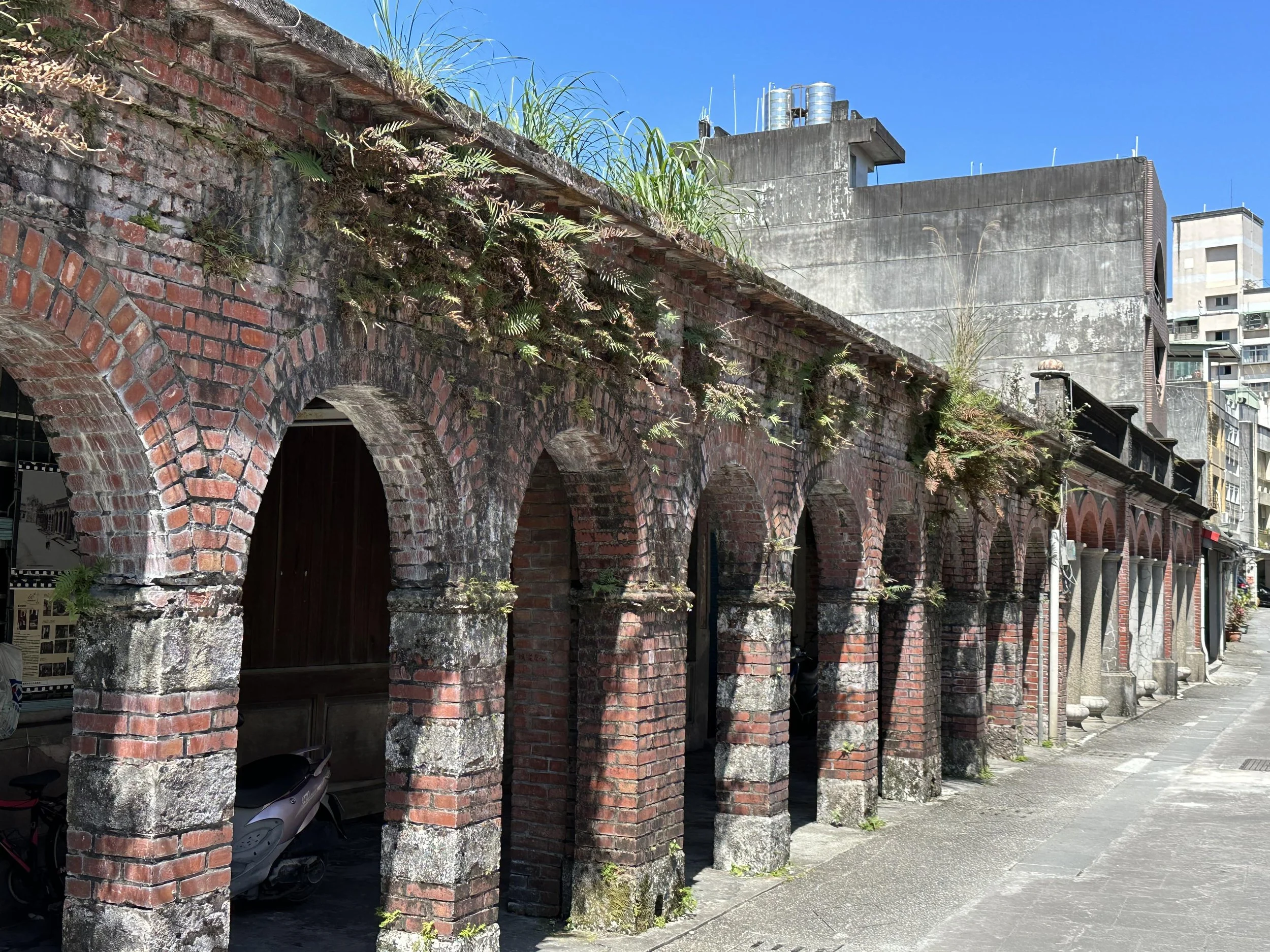
Old shophouses on Toucheng Old Street
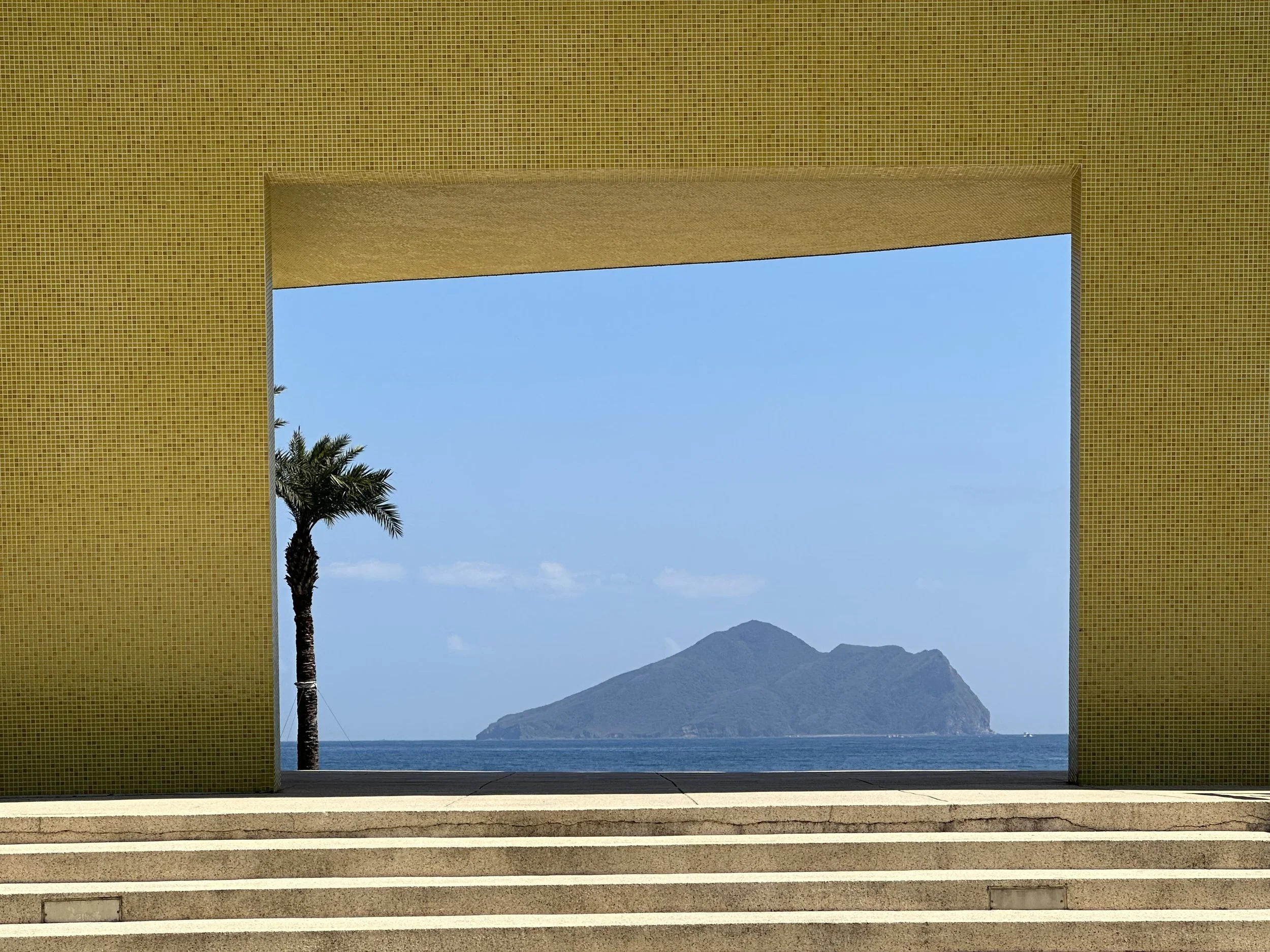
The views of Turtle Island, an active volcano, are great for the entirety of this ride. It'll change from a resembling a shoe in the earlier stretches to looking more like a turtle by the time you reach Sandiao Cape.
There's a short stretch on the road after the promenade that heads past a strange pair of buildings. One has been dubbed “The Sultan's Palace”. This very expensive property was built by a businessman for his wife. She did not like it and so he built the more homely Japanese style structure next to it. Both were empty and looking for a buyer for many years but have apparently now been sold! Just after these the trail rejoins the promenade at the Two Lions surf spot.
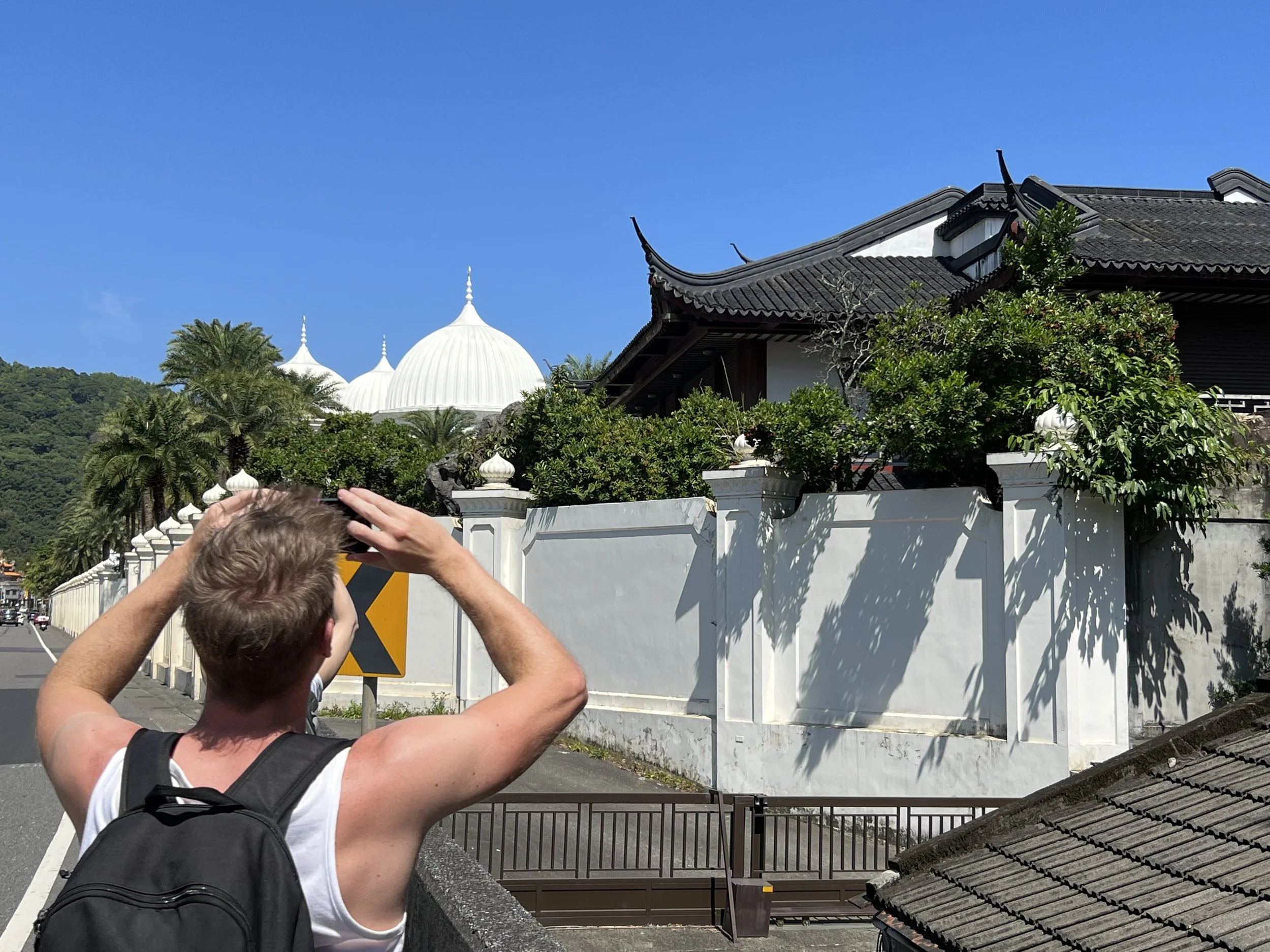
The strange coastal architecture at Wai-ao
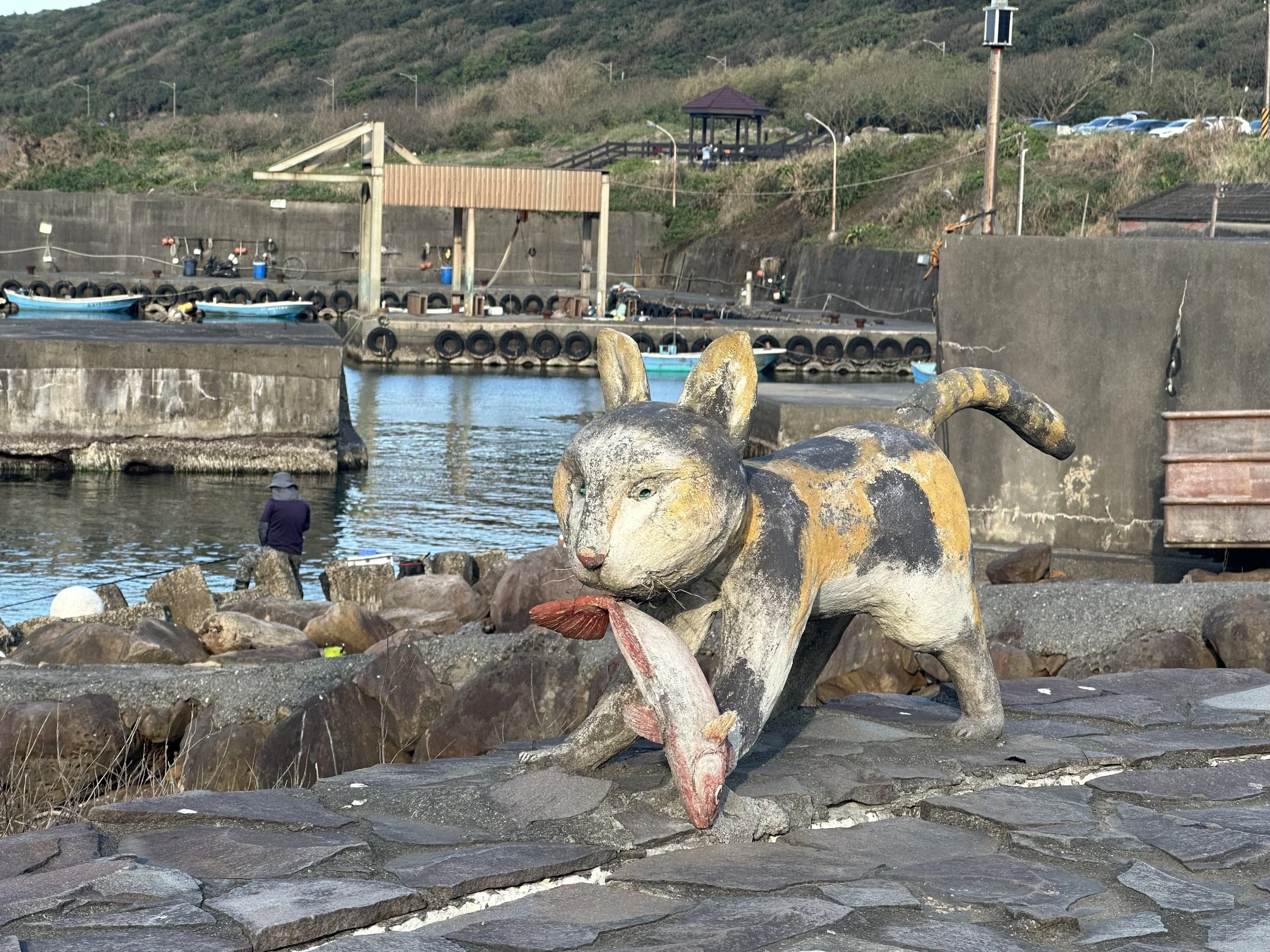
Fortunately whoever built this road added a separated bicycle section along its coastal side. This makes the ride to Guishan pretty relaxed. At Guishan you can follow the seawall for a short stretch before crossing a bridge. After the bridge rejoin the seawall path and cycle on the lane through the harbor rather than along the busy highway.
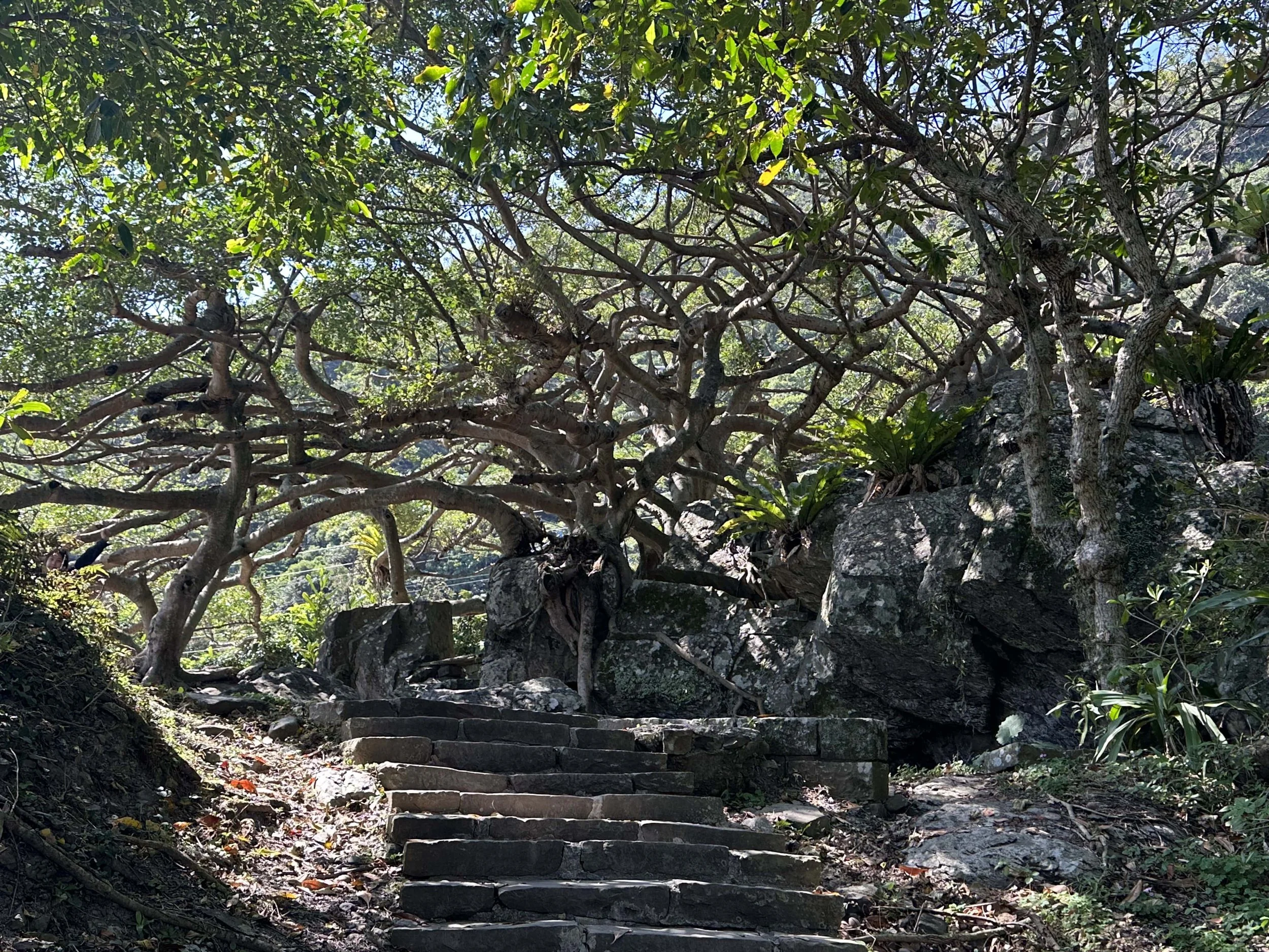
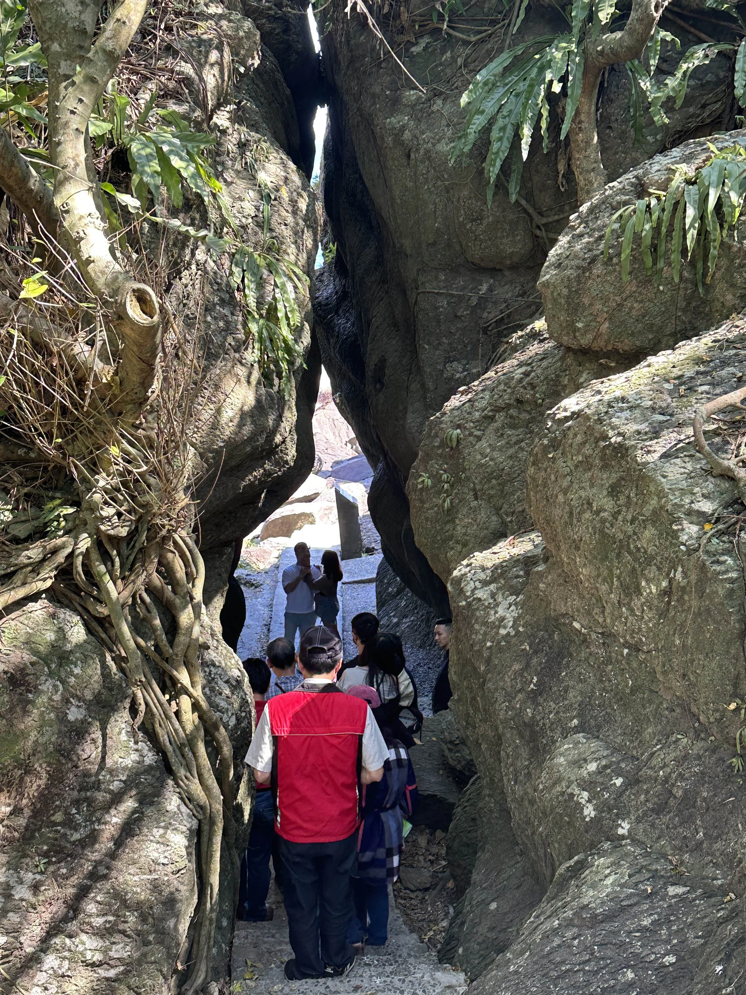
Just past Guishan you'll come to the Beiguan Tidal Park. This is a nice little distraction. A short and attractive trail winds along the coast and around a large rock. One of Taiwan's many “threads of sky” is here. These are trails that lead through narrow gaps between rocks. There are a couple of old gun platforms and some windswept banyans here too.
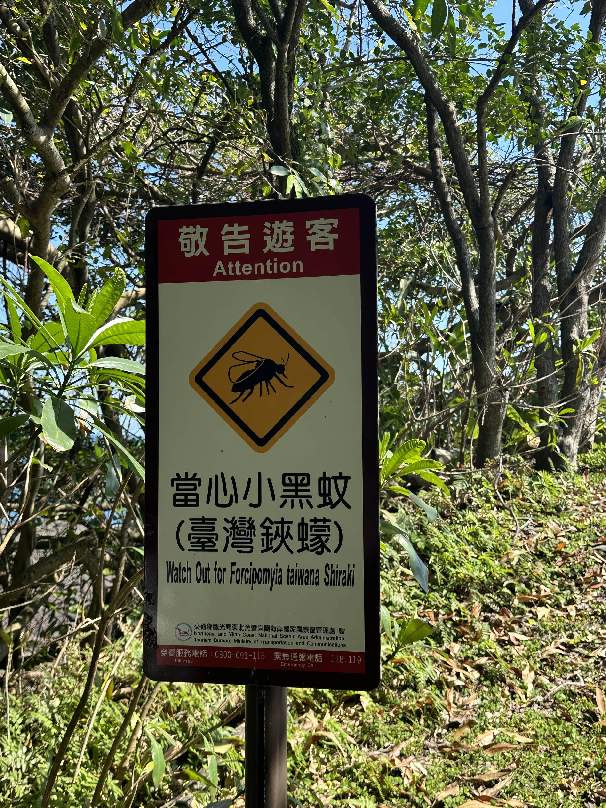
Look out! It’s forcipomyia taiwana shira…. ah too late
Beigun to Dali
From here there's another segregated bike path to Daxi and the Honeymoon Bay Beach. Rounding the headland into Daxi was one of my favorite views of this trip. If you have a mountain bike it's possible to cycle down to the beach and along a rough track to a paved path at the elementary school. If you have a road bike don't try this!

Detour at Honeymoon Bay, Daxi
There's not a whole lot else in Daxi apart from an old arched bridge, which I missed as it's on the other side of the highway. From here until Caoling you're mostly on the main road with the traffic. The stoplights mean trucks tend to come in convoys and sometimes it's safer to pull over while they pass. I completed this route on a weekend day and the traffic volume was pretty low. I did not feel in any particular danger while cycling this.

Daxi
Just before the small village of Dali, near a Google Map point called 大里海蝕平台 , a small road branches off to the left. Follow this for some respite from the highway through the sleepy Dali Village. Past the village cycle down what looks like a dead end track along the coast and at the very end you'll see a small wooden pedestrian bridge. You can walk your bikes along a boardwalk and up some steps before re-joining the highway (best to check the trail route here for this)
Dali Village

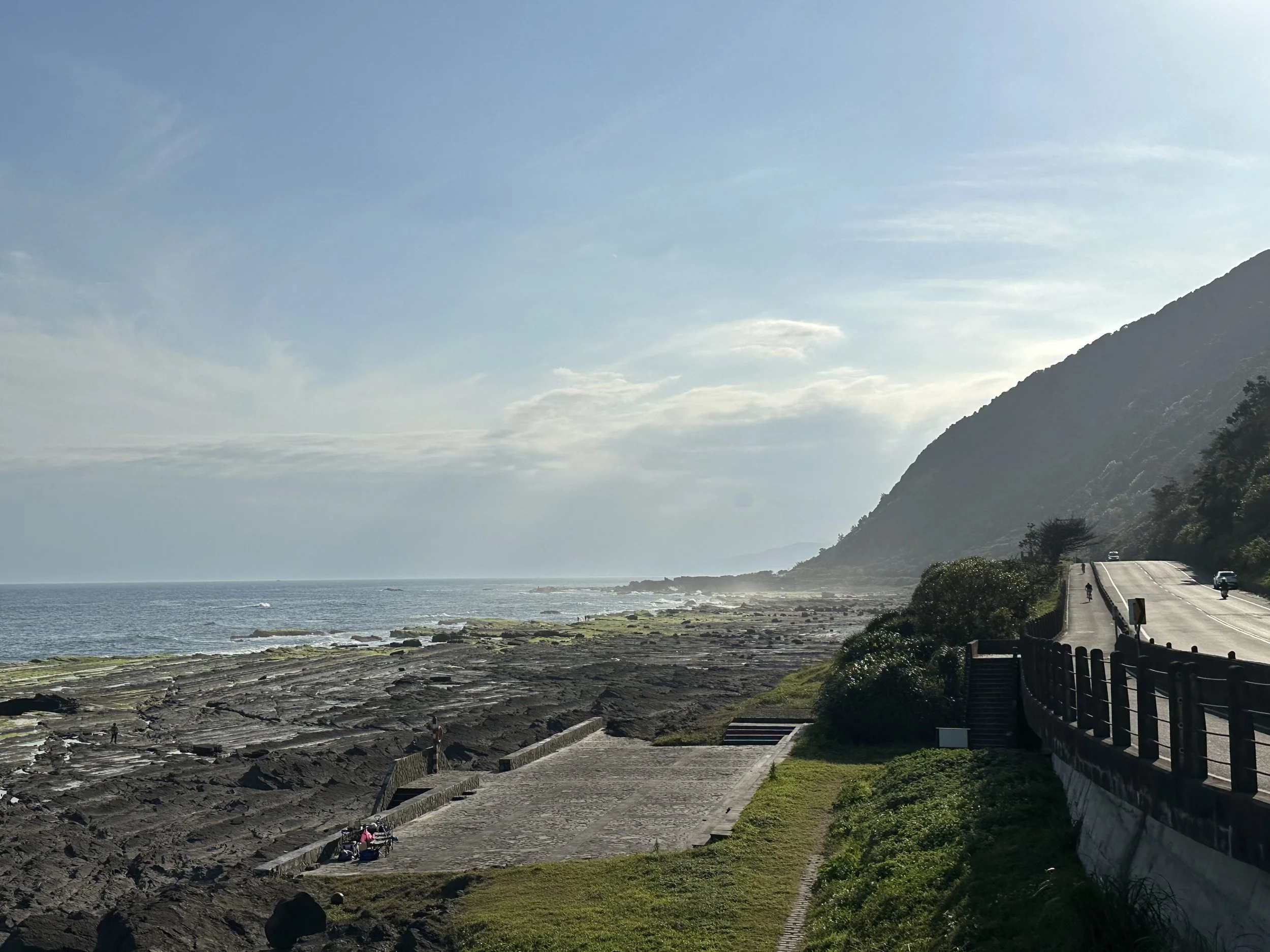
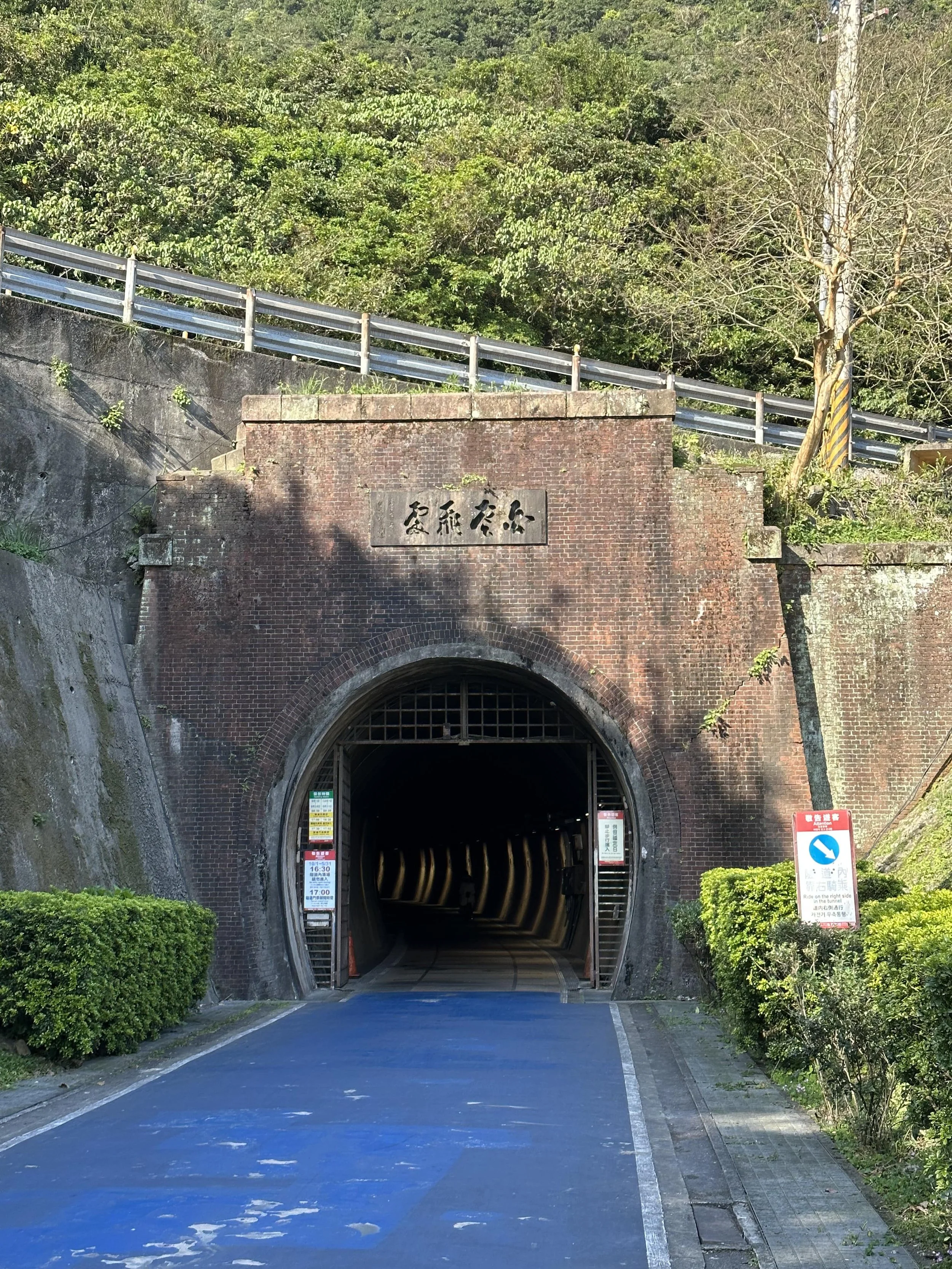
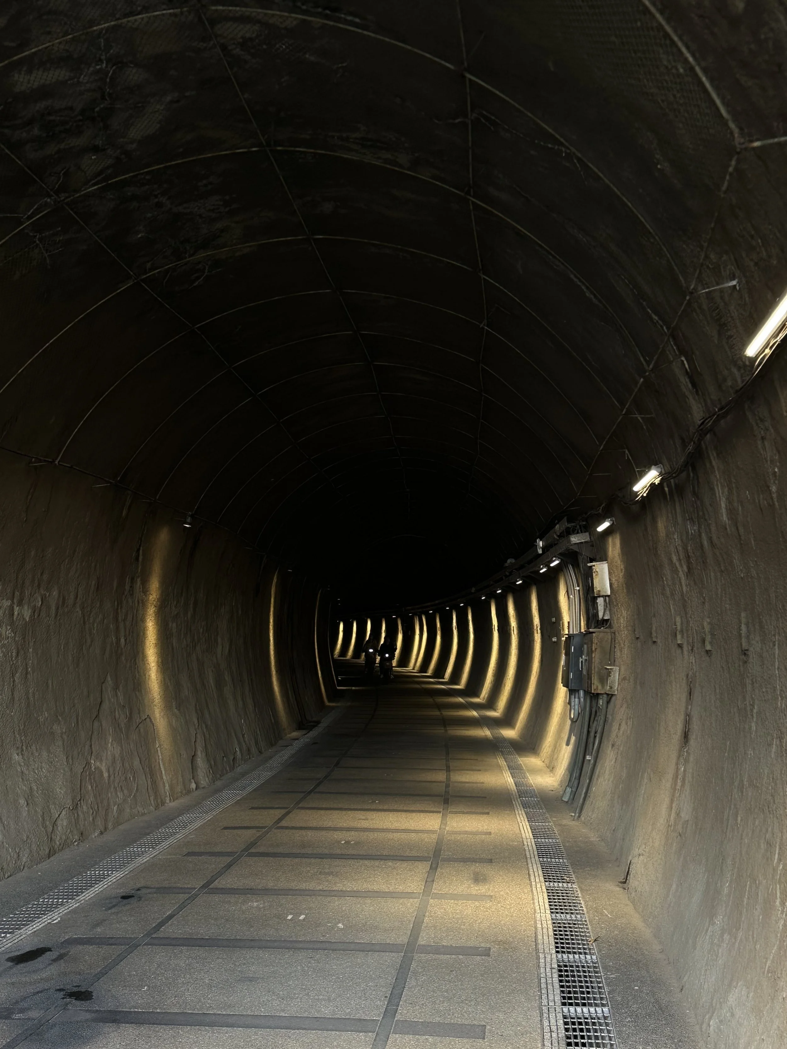
From here the road heads uphill a little through Shicheng. Pretty soon you'll see a turn off for the historic Caoling Tunnel on the right. It's worth going down to take a look at the tunnel. If you're tired or running late you can also use it as a shortcut into Fulong. However the trail around Sandiao Cape is more beautiful and very safe. Most people ride through the tunnel from Fulong and then head straight back so the cape trail is quiet even on days when Caoling is busy!
Sandiao Cape
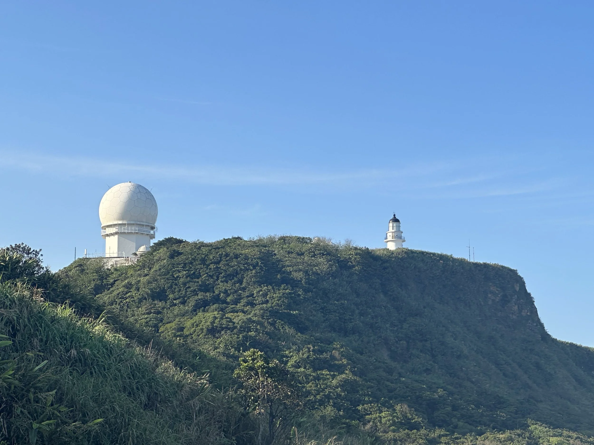
Sandiao Cape is the Easternmost point of Taiwan Island and there's some great coastal scenery around here. On approaching the cape you can spot the 1935 Sandiaojiao Lighthouse up on the cliffs. There is a little trail running up to the lighthouse from the main highway but by this time my friends with rental bikes were a little concerned about time so we pressed on. The two fishing villages at Magang and Mao'ao are great to idle through and the trail is well-signposted in most parts. After Mao'ao it's an easy cycle down to Fulong. A few shots of the route around Sandiao Cape:
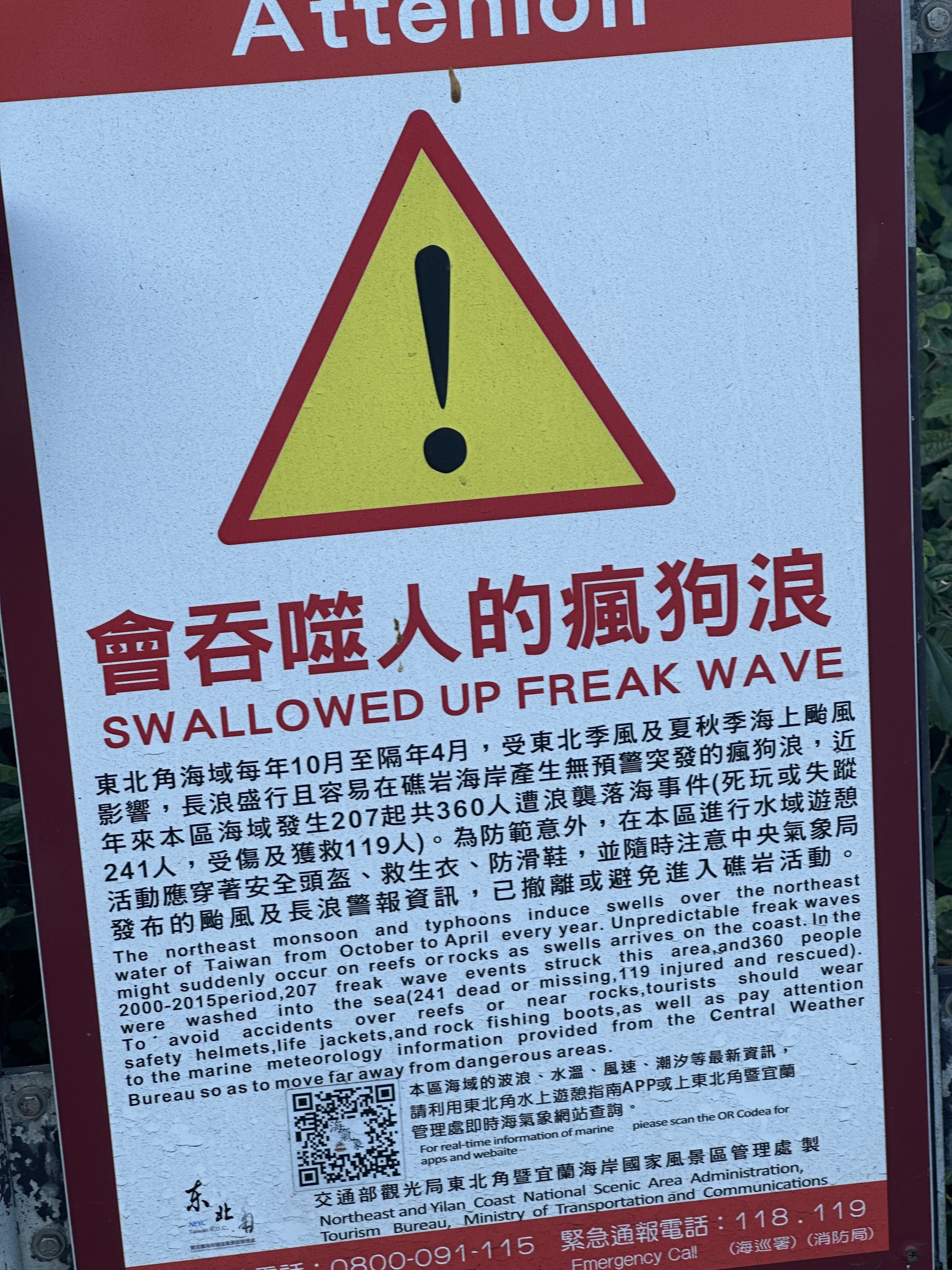
It’s an oddly worded sign but this happens quite often even today